
 WhatsApp +86 13550328585
 Sal.holidays25@gmail.com
WhatsApp +86 13550328585Sal.holidays25@gmail.com
Pick up at airport or railway station, arrange hotel check-in. Have meals nearby freely and take adaptive rest to acclimatize.
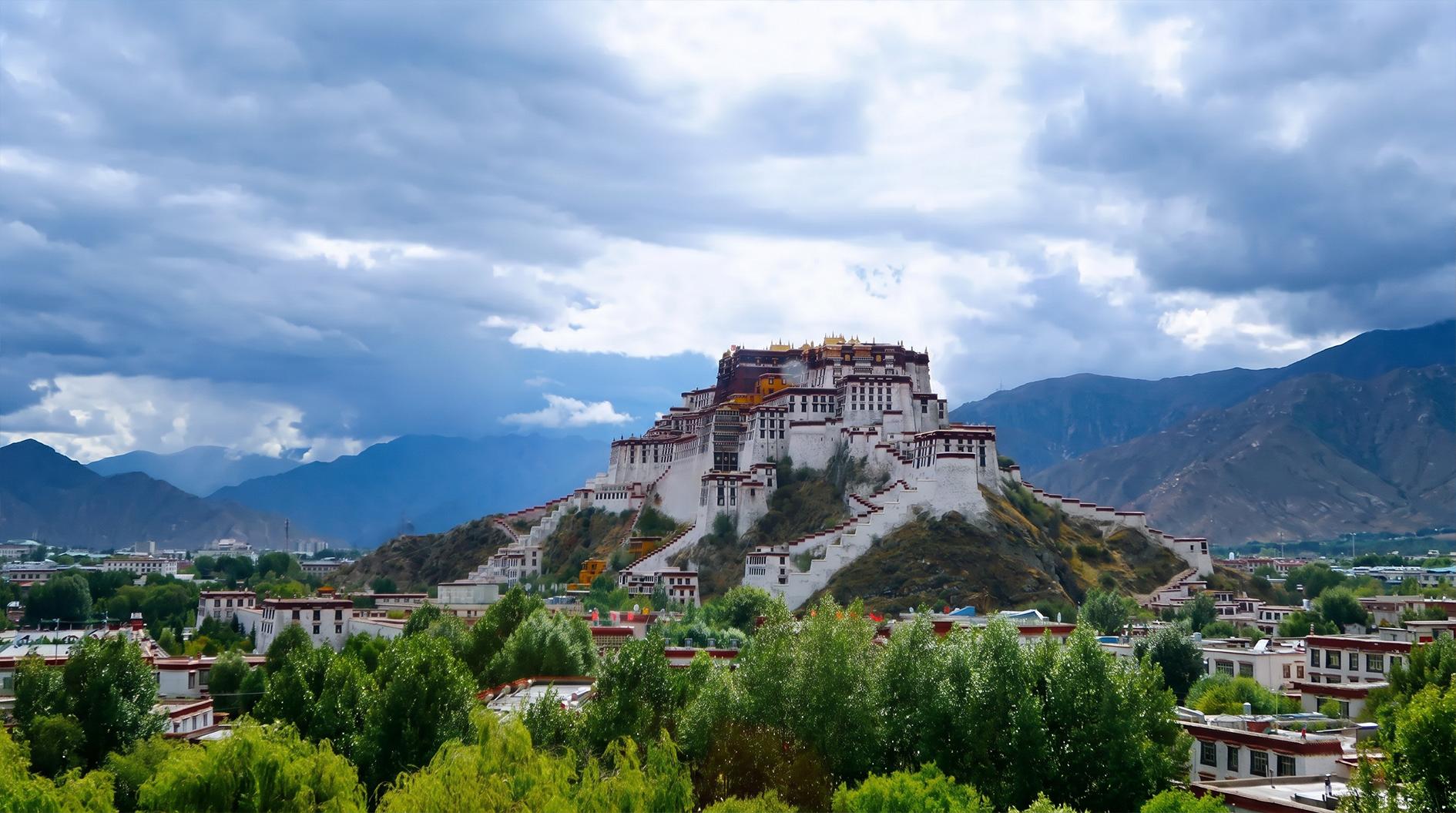
Visit Potala Palace towering over 3,700 meters on Red Hill. The 117-meter-high 13-storey complex integrates palace, monastery and pagoda hall, divided into White Palace and Red Palace, serving as ancient political-religious core.
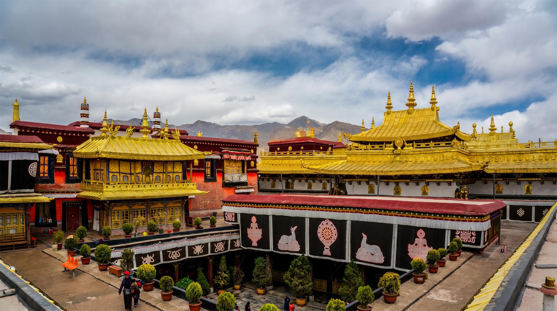
Tour 1,350-year-old Jokhang Temple housing precious 12-year-old Sakyamuni golden statue and royal statues. Experience devout local worship and powerful six-syllable mantra chanting on bustling Barkhor Street, the cultural and commercial heart full of Tibet, Nepal and Indian featured goods. Free leisure and night exploration after dinner.
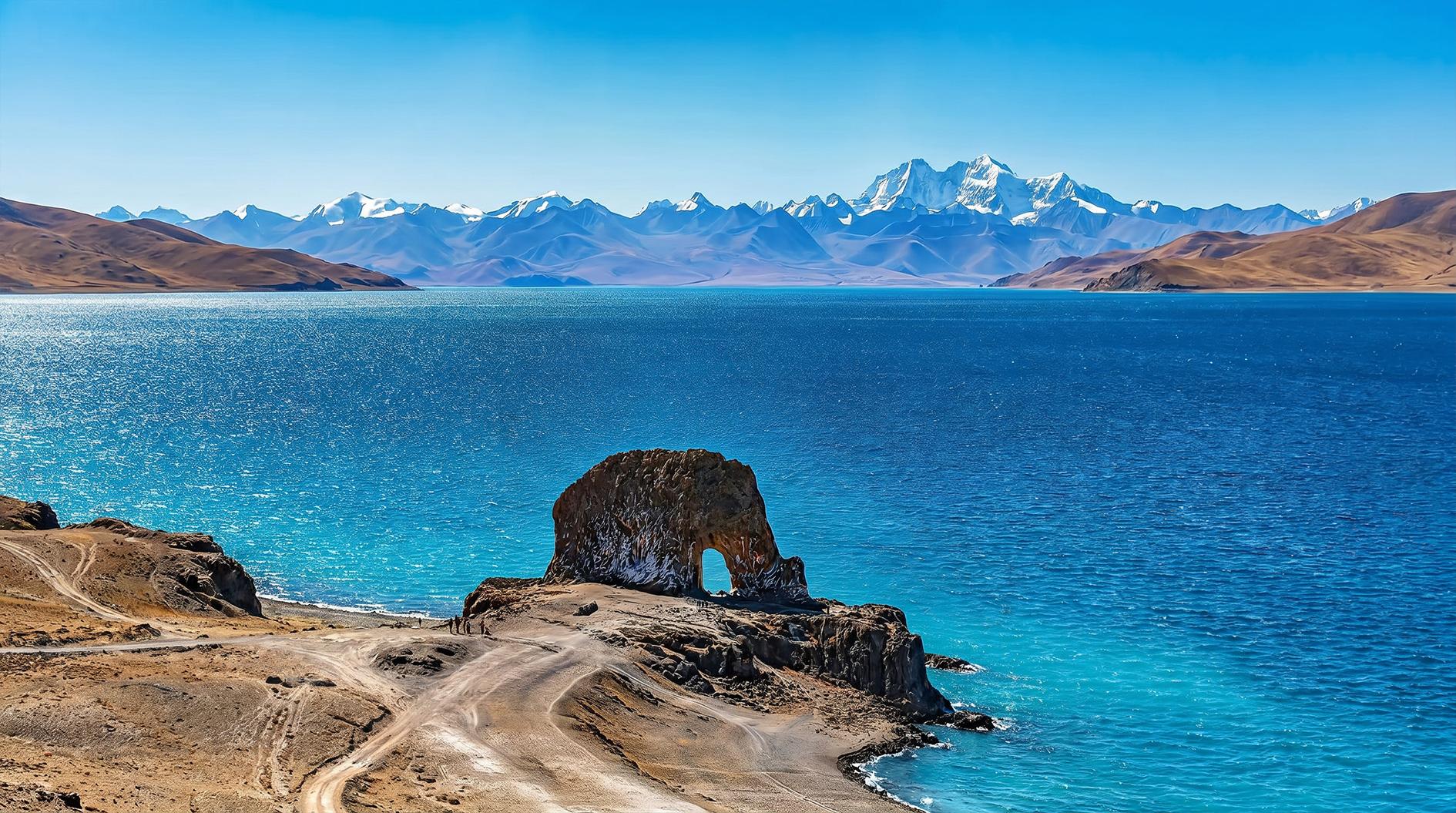
Depart after breakfast, pass Yangbajing geothermal field and drive to Namtso, one of three major sacred lakes. Enjoy horse riding around lake, pilgrimage on Tashi Island or quiet lakeside leisure. Admire gorgeous lake sunset in the evening.
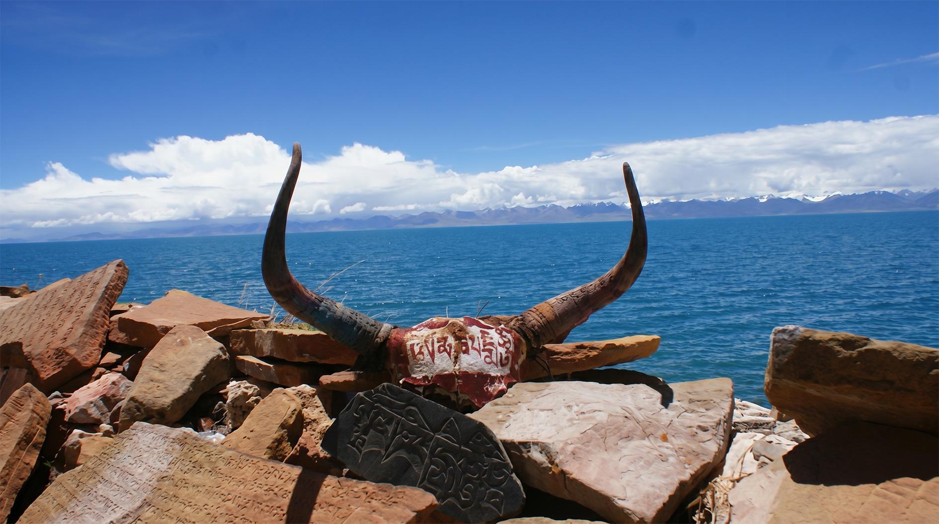
Shoot stunning lake sunrise early, then head to Bangor between Namtso and Siling Co. Rich water and grass suit yak raising. Road conditions are harsh, mostly grassland and swamp routes, harder in rainy season.
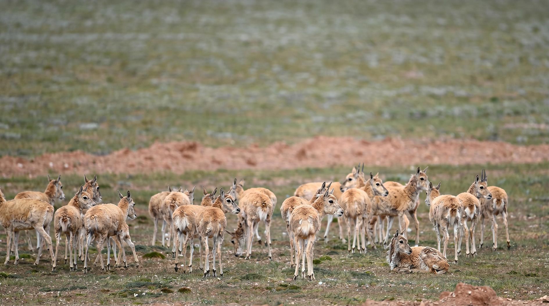
Enter main Ngari route. Northern area belongs to uninhabited northern Xizang, natural habitat of Tibetan antelope, wild donkey, wild yak and rare black-necked crane.
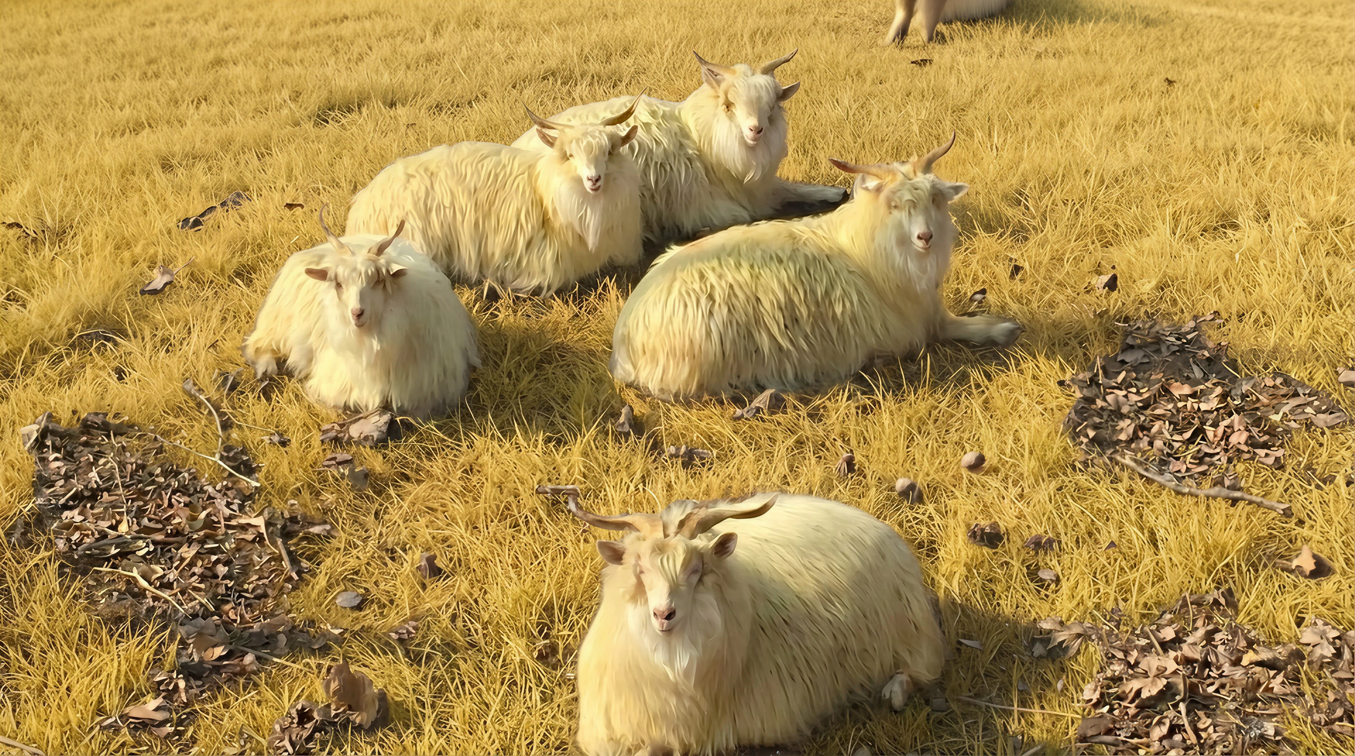
Travel across vast Nyima County. Rich wild animal resources and world-famous cashmere goat produce local premium cashmere.
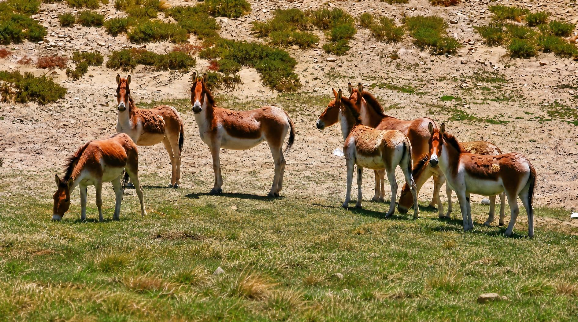
Drive to key rear Xizang town Gaize. Spot groups of wild donkeys and goa alDay 7 Nyima — Gaize (276km) | Accommodation: Gaize
Set off early for major rear Xizang town Gaize. Large herds of wild donkeys and goa are frequently seen along the route. Around 65 kilometers from Coqen lie two adjoining lakes, vivid emerald and deep blue, known as Dawa Tso. Drive another 120 kilometers, and you will find two Sichuan-style restaurants and a Tibetan teahouse by the bridge after descending the mountain, a popular overnight stop named Bridge Area.
One hour further ahead opens a vast grassland plain. After driving 40 kilometers inside, you reach a junction 180 kilometers to Coqen and 100 kilometers to Gaize, where Northern Ngari Highway and Amdo-Shiquanhe Highway converge. To the right stands salt lake Dong Tso. Gaize County is around 80 kilometers west of Dong Tso.
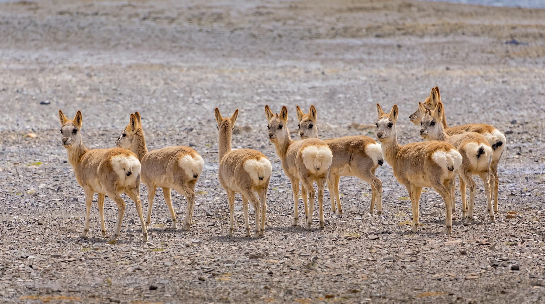
Head north onto the main highway. In this sparsely inhabited wilderness, you can admire magnificent groups of wild animals.
Travel along Xinjiang-Xizang Highway and stay overnight in border town Rutog in northwestern Ngari, covering 75,400 square kilometers with a population of roughly 6,000.
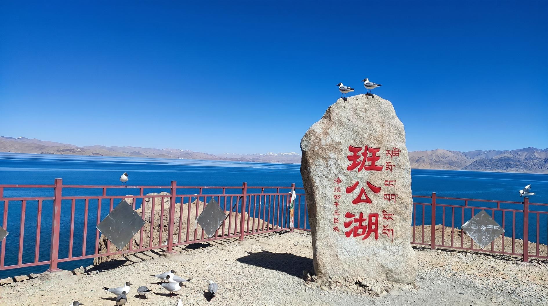
Pangong Lake sits on the China-Kashmir border, named Lake of Long-necked Swan in Tibetan. Stretching 158 kilometers long and merely 2 to 5 kilometers wide on average, it is extremely narrow at only 5 meters at the narrowest point. The lake holds fresh water within Chinese territory and salt water across the border. It features famous bird islands where tens of thousands of Mediterranean brown-headed gulls breed every summer.
Road conditions are fine, yet bird islands are 60 kilometers away from the lakeshore; boat ride and special permit are mandatory for visit.
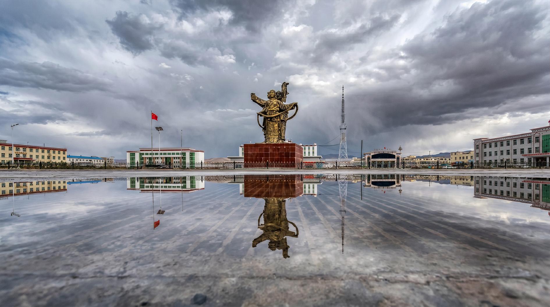
Continue to Ngari prefectural capital Shiquanhe. Rest and relax freely after lunch. The river originates at the northeastern foot of Gangdise Mountains with spring water gushing from a lion-mouth-shaped terrain, hence its name.
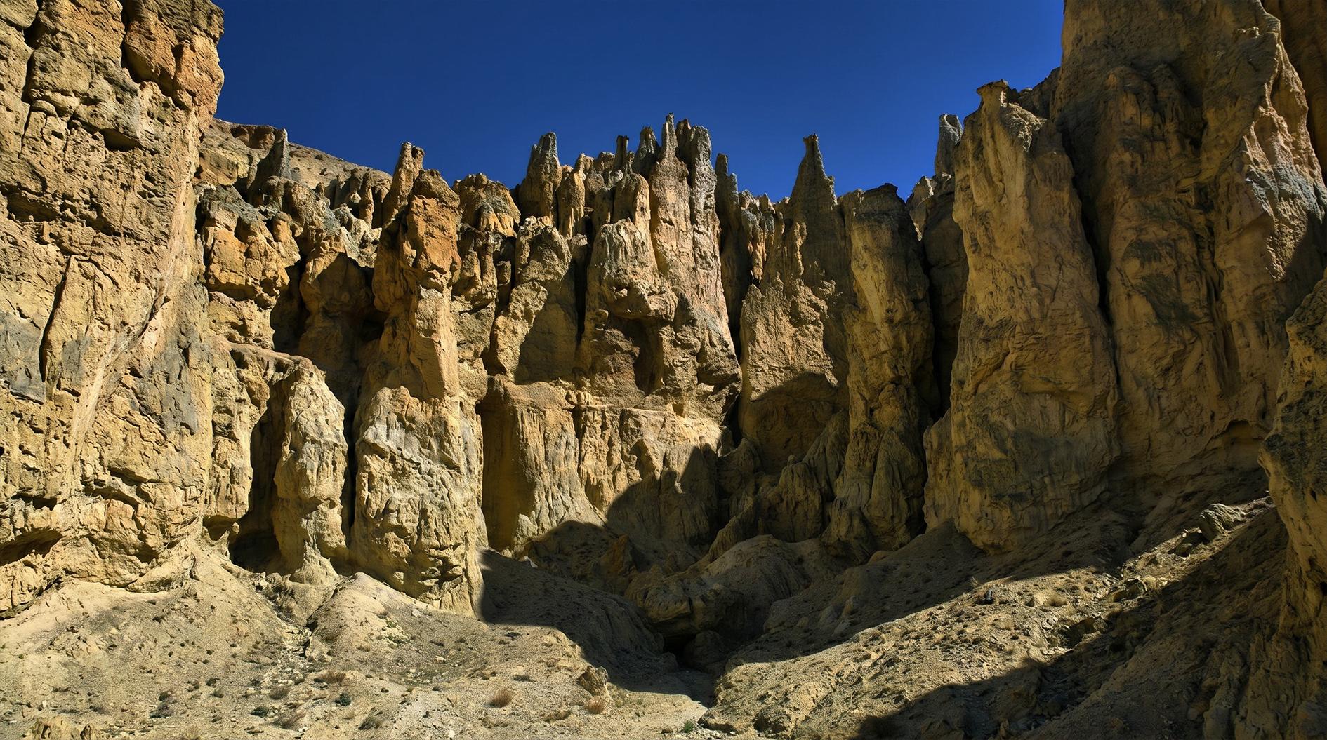
As the most prosperous town in western Xizang, Shiquanhe leads to stunning Zanda Earth Forest once crossing Ayila Pass. Formed from ancient lake basin deposits eroded by rivers under dry climate, the earth forest presents spectacular castle-like landforms. Its sunset scenery ranks among Ngari’s top views. Settle in Tuolin Town, county seat of Zanda.
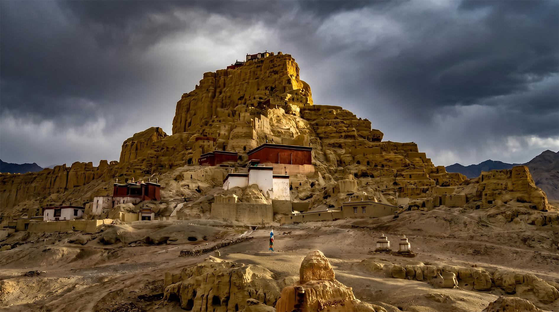
Depart for Tuolin Village and proceed to Guge Kingdom Ruins. Founded in the 10th century by descendants of Tubo royal family, the ruins cover 180,000 square meters on a hillside by Elephant River, containing over 300 caves, 3 pagodas, 4 monasteries and hidden tunnels. Its art bears obvious Kashmir and Gandhara cultural features. The grand ancient plateau city provides precious materials for Xizang history and ancient architecture research. Return to Zanda in the evening.
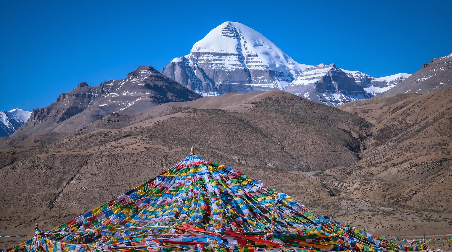
Leave Zanda early to head for sacred mountain, enjoying numerous snow peaks of Gangdise Range at an average altitude of 4,500 meters. Pass Baga and arrive at Taqing, meaning grand prayer flag in Tibetan. This small village at the southern foot of the sacred mountain, also known as Dajin, is the start and end of all pilgrimage routes at 4,586 meters above sea level.
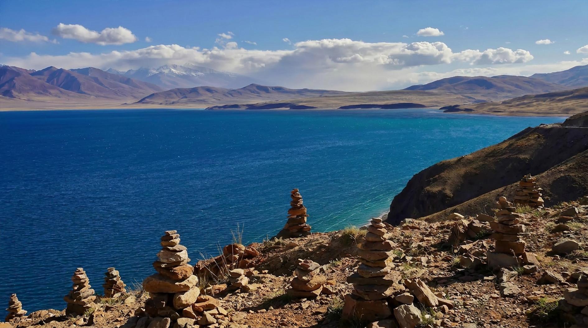
Watch breathtaking sunrise over the sacred mountain early, then drive nearly 100 kilometers to Lake Manasarovar, known as Invincible Jade Lake in Tibetan. One of the world’s highest freshwater lakes and Xizang’s three major sacred lakes, it lies southeast of Mount Kangrinboqe at 4,587 meters. Snow-capped Mount Kangrinboqe and Mount Naimona’nyi reflect perfectly on blue water.
Adjacent Ghost Lake La’nga connects with the holy lake via hidden waterways. They differ sharply in water quality: pure sweet water in Manasarovar and bitter salty water in La’nga, symbolizing the unity and interaction of all things in the universe.
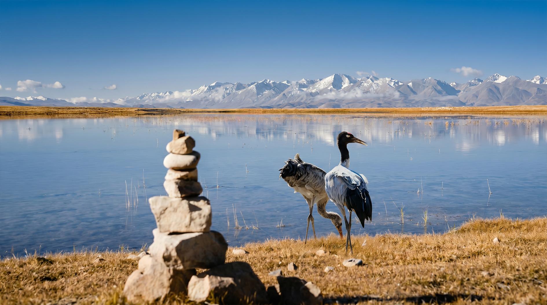
Marvel at vast plateau scenery all the way at average 4,500 meters. After one hour’s drive past Hor, Gongzhu Tso lies on the left, home to flocks of black-necked cranes, wild donkeys and goa in wetland. Move on past Payang and reach Zhongba, meaning land of wild yaks in Tibetan.
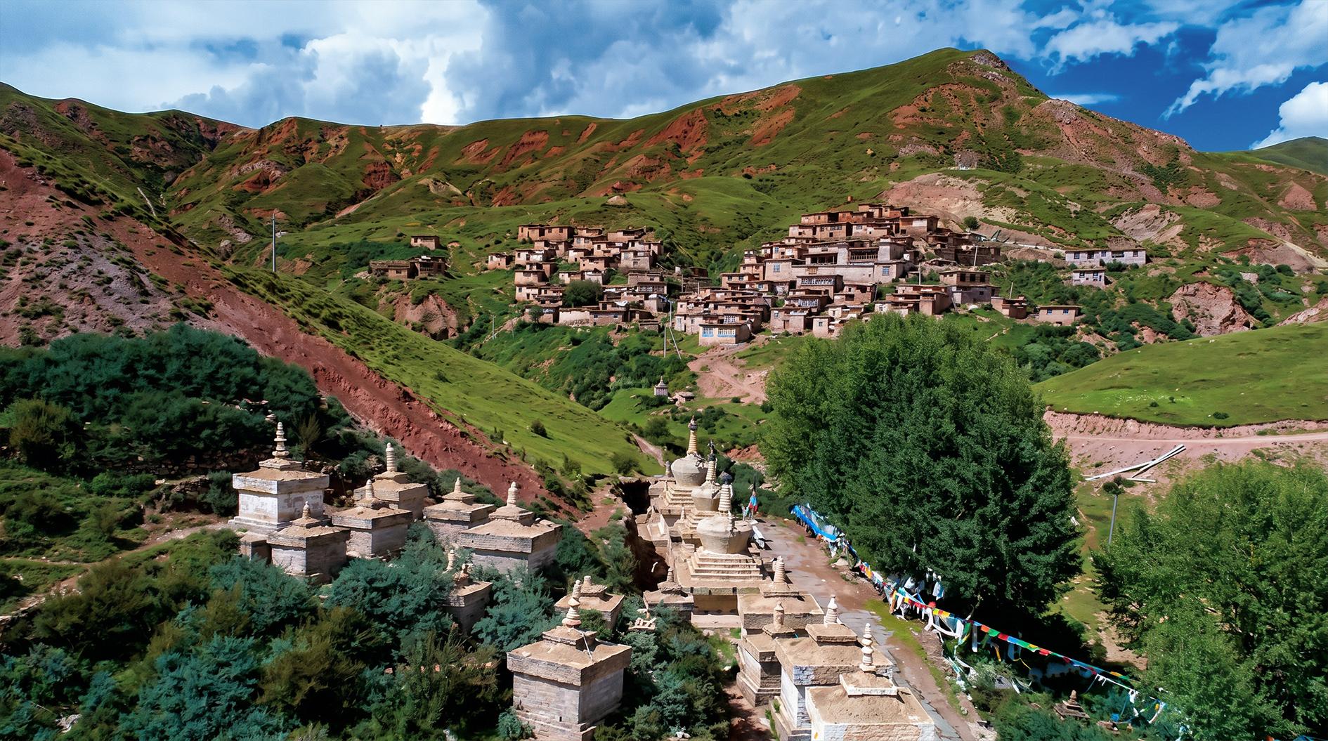
Located at 4,500 meters, Saga is a vital transportation hub and material supply station on Southern Ngari Route. It connects Shigatse and Lhasa to the east, sacred mountains and lakes to the west, China-Nepal border and Mount Everest to the south via Yarlung Tsangpo River and Shishapangma Reserve.
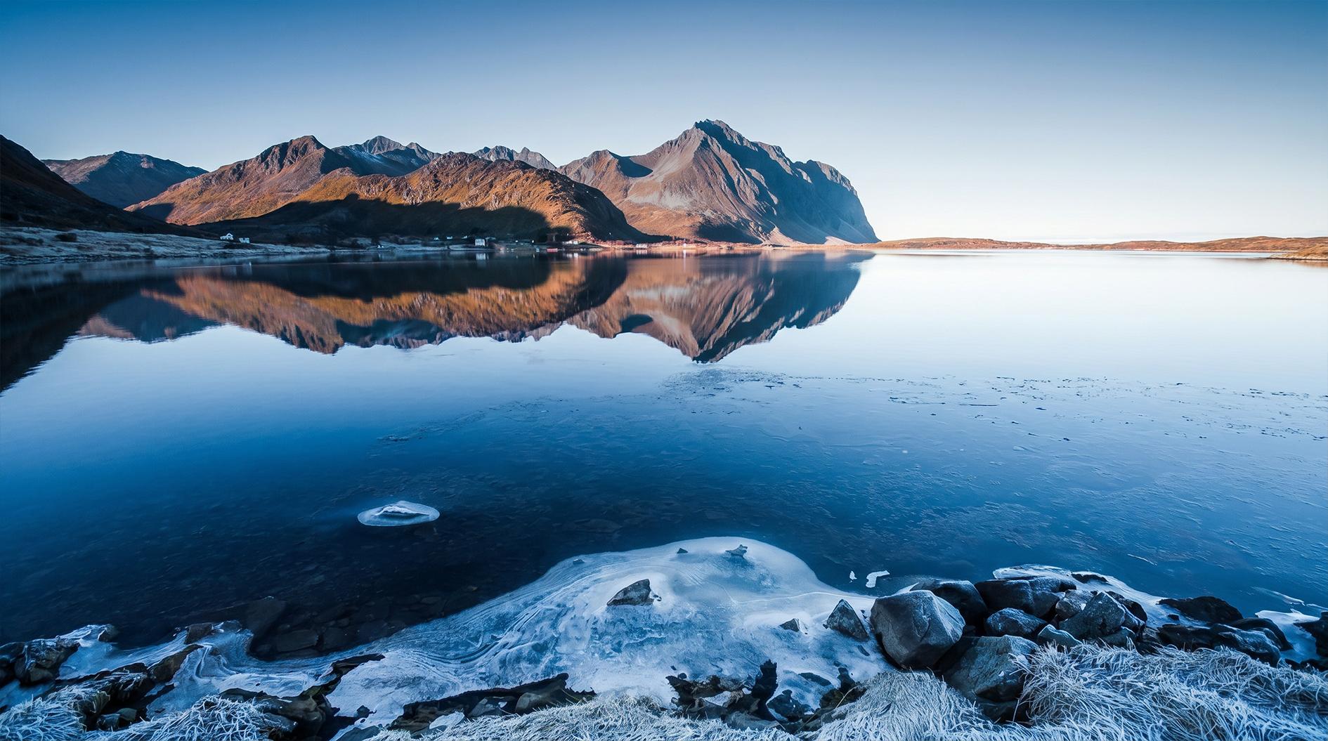
Cross Jiaji Ferry and traverse Peiku Tso Nature Reserve. Shishapangma Peak comes into clear sight. Pass the northern edge of Shishapangma Reserve, exit Gangdise Mountains and enter Himalayas. Check in Tingri for the night.
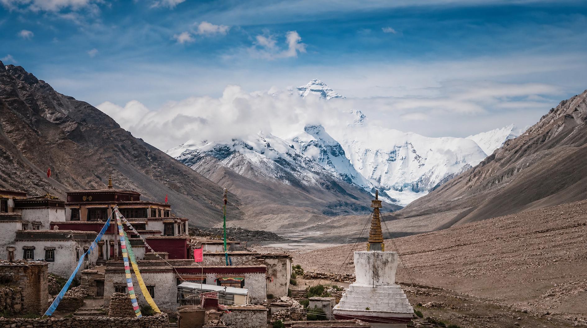
Drive 50 kilometers to visit Rongbuk Monastery, viewing Mount Everest from diverse angles alongside amazing ice towers and lake scenery. Transfer to eco-friendly vehicle in Zaxizong to reach the monastery standing at 5,100 meters. Founded in 1899, it is the world’s highest monastery. Rongbuk River at its foot is melted water gathered from three major northern glaciers of Everest.
8 kilometers away from Base Camp, Everest is clearly visible on clear days. Take local carriage or walk tough mountain road from the monastery to the base camp....
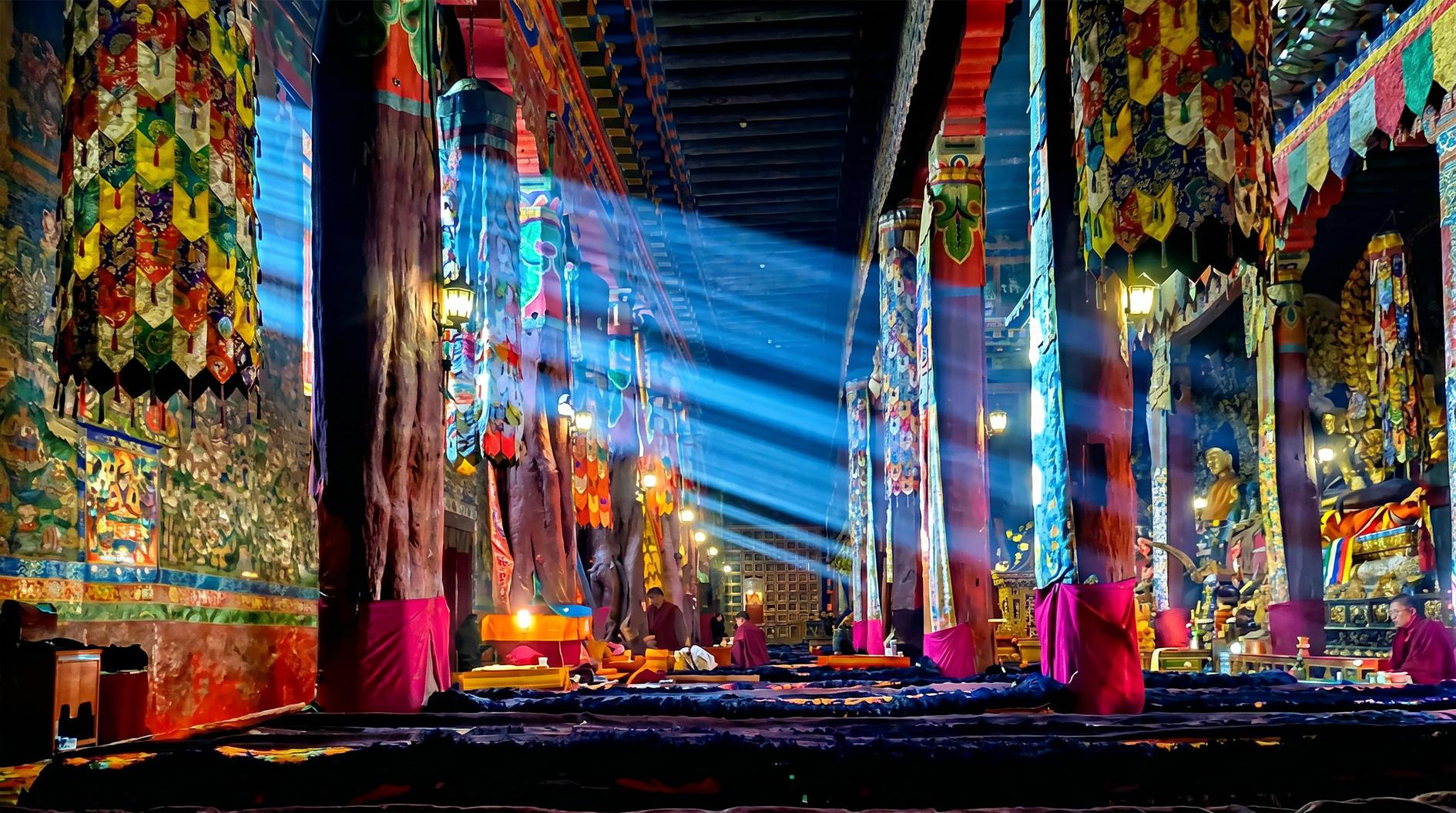
Enjoy the stunning golden sunrise over snow peaks in the early morning, then head to Sakya Monastery. As the leading monastery of the Sakya School, it was founded in 1073 by Khon Konchok Gyalpo. Listed as a national key cultural heritage site, it houses countless precious art relics and enjoys the reputation of the Second Dunhuang. In Tibetan, Sa means earth and Kya means grey, named after grey weathered rocks on the local sacred mountain. Afterwards, proceed to Shigatse, the major city of rear Xizang.
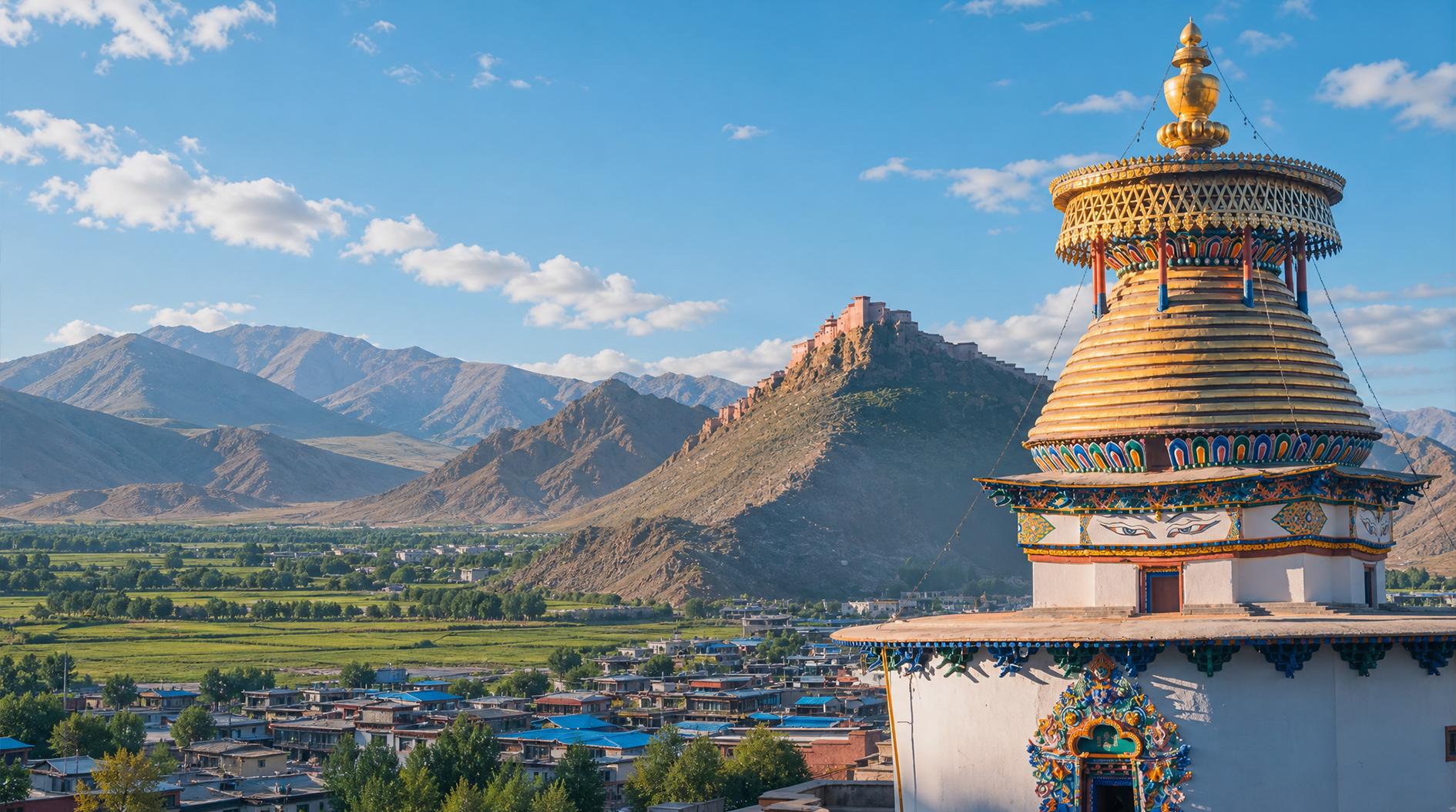
Visit Tashilhunpo Monastery, residence of successive Panchen Lamas and one of the six major Gelug monasteries built in 1447. The grand complex clings to mountain slopes with towering halls, golden roofs and red walls. Devout pilgrims worship here while monks chant scriptures. The 26-meter giant indoor Maitreya Buddha is enshrined inside. Pay homage to the stupa of the 10th Panchen Lama.
Travel to heroic Gyantse, where local people waged fierce resistance against British invasion in 1904. Tour Pelkor Chode Monastery integrating three major Tibetan Buddhist sects, famous for exquisite murals and pagodas, and visit Dzong Hill Anti-British Fort.
Drive to Yamdrok Lake, the world-famous high-altitude freshwater lake known as Heavenly Sacred Lake. Its crystal sweet water is drinkable, and it served as the shooting location of the movie Red River Valley.
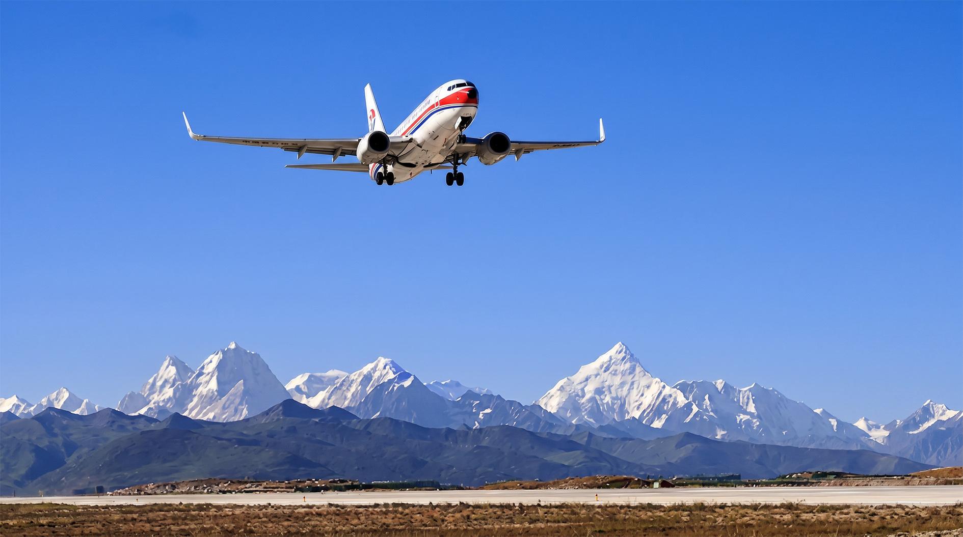
See guests off at the airport or railway station in the morning, concluding this marvelous plateau journey.

Reviewed on Jan.31,2025
Jan 2025 · Family
Reviewed on Jan.31,2025
Jan 2025 · Family